The Union government has postponed the implementation of a satellite-based highway toll collection system, which aims to eliminate traditional toll booths. The Ministry of Road Transport and Highways (MoRTH) is waiting for India’s indigenous navigation satellite system, NavIC, to become fully operational before rolling out the technology.
The proposed system will calculate toll charges based on the actual distance traveled by vehicles, using a Global Navigation Satellite System (GNSS). While the US-based GPS is currently the most widely used GNSS, MoRTH plans to transition to India’s NavIC, developed by ISRO, once all 11 satellites are functional. Currently, only five NavIC satellites are operational, following delays in the NVS-02 satellite launch in February.


A pilot program for barrier-free tolling is underway on the Dwarka Expressway in Delhi. This technology, already popular in Europe, Singapore, and Indonesia, tracks vehicle movement via satellite and uses an on-board unit (OBU) to record entry and exit points for fare calculation.
Sreeram Ananthasayanam, a partner at Deloitte India, emphasized the need to balance data security with toll accuracy. He noted that while GPS has limitations, NavIC’s enhanced precision, combined with private-sector innovations, could address these challenges.
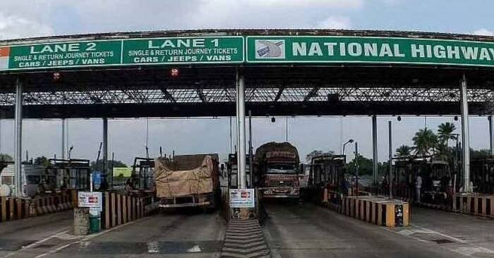
Currently, India relies on the FASTag system, which uses RFID technology to reduce waiting times at toll plazas. The new satellite-based system aims to eliminate the need for vehicles to stop altogether, further enhancing efficiency and convenience for commuters.