A formidable winter storm is wreaking havoc across the central United States, extending its icy grip to the eastern regions and leaving millions preparing for blizzard conditions, heavy snow, and extreme cold. With warnings issued by the National Weather Service (NWS), over 60 million residents are bracing for widespread disruptions as the storm brings Arctic air and hazardous winter weather from the Central Plains to the Mid-Atlantic.
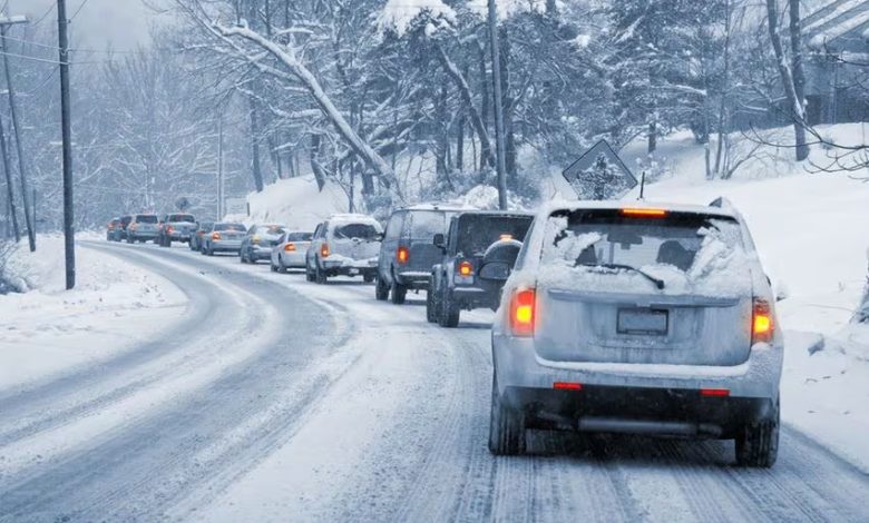
Travel has already been significantly impacted, with Kansas City International Airport suspending operations due to rapid ice buildup. Blizzard conditions have caused “whiteout” scenarios in many areas, making roads treacherous and increasing the risk of stranded motorists. Northern states like New York and Pennsylvania could see snowfall totals of up to four feet, especially in regions affected by lake-effect snow. Meanwhile, Washington, D.C., could experience up to 10 inches of snow, with freezing rain and sleet adding to the peril in surrounding areas.


The storm’s bitter cold is expected to drive temperatures below zero Fahrenheit (-18°C) in several regions, with strong winds exacerbating the already dangerous conditions. Freezing rain is forecast to coat roads and power lines, causing tree damage and widespread power outages. Governors in states such as Missouri and Virginia have declared emergencies to address the escalating impact.
Experts highlight the increasing intensity of such extreme weather events as a consequence of climate change, urging communities to remain vigilant. As the storm moves east, authorities recommend staying informed, limiting travel, and prioritizing safety to weather this severe winter event.